|
|
| |
Tapanti National Park
|
| |
|
Size: 58,323 hectares.
Distance from San José: 35 kilometers.
Camping: Permitted.
Trails: Yes.
Dry season: January through March. |
 |
| |
|
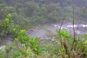 |
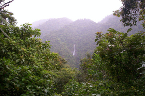
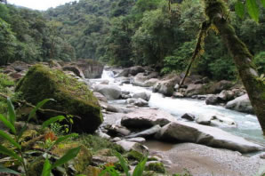
Tapantí National
park, sometimes called Orosí National Park, is a National Park in the Pacific La Amistad Conservation Area of Costa Rica, located on the edge of the Talamanca range, near Cartago Just 90 minutes drive from San José. It protects forests to the north of Chirripo National Park, and also contains part of Orosí River. |
| |
|
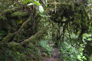
This park
has two main life zones, the lower montane rain forest and the premontane
rain forest. This forests are home to over 45 different species of
mammals including kinkajous, tapir, deer, raccoons and monkeys. |
 |
| |
|
 |
There are
also 260 kinds of birds, the most common are the quetzal, hawks, falcons,
parrots and humming birds. Additionally 28 species of reptiles have
been identified, which include snakes, toads, frogs, and salamanders. |
| |
|
Back to Map of Costa Rica and its National Parks |
| |
|
|