- HOME
- Information
- Packages & Activities
- Regions
-
Hotels & Accommodations
- Airport
- All Inclusive
- Beachfront
- Bed & Breakfast
- Budget
- Eco Lodges
- Family
- Honeymoon
- Luxury
- HOTELS BY REGION
- Arenal / North Zone
- Caribbean / Limon
- Central Valley / San Jose
- Corcovado / Osa / South Pacific
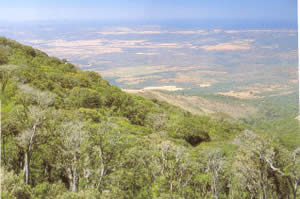
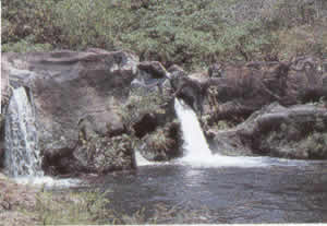
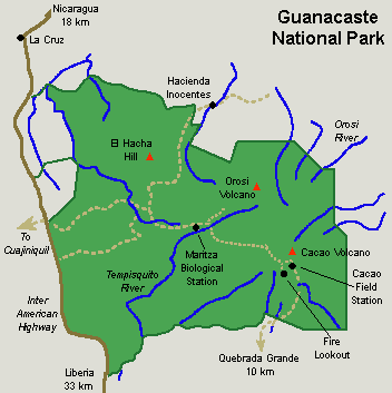
- Guanacaste / North Pacific
- Jaco / Mid Pacific
- Monteverde
- Quepos and Manuel Antonio
- Talamanca Highlands
- Tortuguero
- Transportation
- About us
- Contact us
|
||||||||||||||||||||||||||||||||||||||||||||||||||||||||||||||||||