|
|
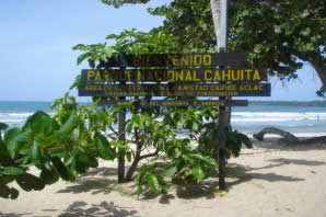
Cahuita
National Park |
| |
|
Size: 5,303 hectares.
Distance from San José: 241 kilometers.
Trails: Yes.
Dry season: February, March, June, September and October.
|
The name "Cahuita" derives from the language of the natives and means "CAWI" mahogany, a tree of the region and "TA" tip or point. |
 |
|
| |
 |
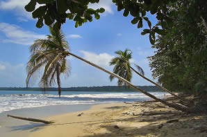
Cahuita National Park is located
just south of the town of Cahuita, about 43 kilometers south of Limón, on
the Caribbean coastline in one of the most beautiful and scenic regions
in Costa Rica. Its main attractions are the white sand beaches fringed with
endless coconut trees, a calm sea of transparent waters and the coral reefs
just offshore. |
|
| |
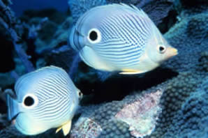
The most attractive feature for
divers is the underwater garden of marine life, including several types
of coral, such as the brain and elkhorn coral. Also living in this medium
are large numbers of very colorful tropical fish and invertebrates, like
urchins, sea fans, angelfish, blue parrotfish, barracudas and stingrays,
amongst others. |
 |
|
| |
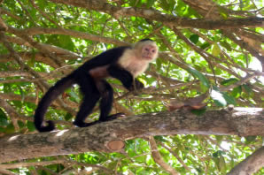 |
There's also a great variety of
land and air animals, such as raccoons, crabs (land and water), howler monkeys,
kingfishers, night herons, white-nosed coatis, frogs, toads and snakes. |
|
| |
Most of Cahuita consists of a swamp located
in the depression that lies between the coral platform and the mainland.
Other habitats in the park are uninundated mixed forest and littoral woodlands. |
 |
|
| |
 |
The most interesting feature of the park is a shipwreck located on the
north of the mouth of the river Perezoso, which sank in the 18th century
and was used to transport slaves. |
|
| |
Back to Map of Costa Rica and its National Parks |
|
|